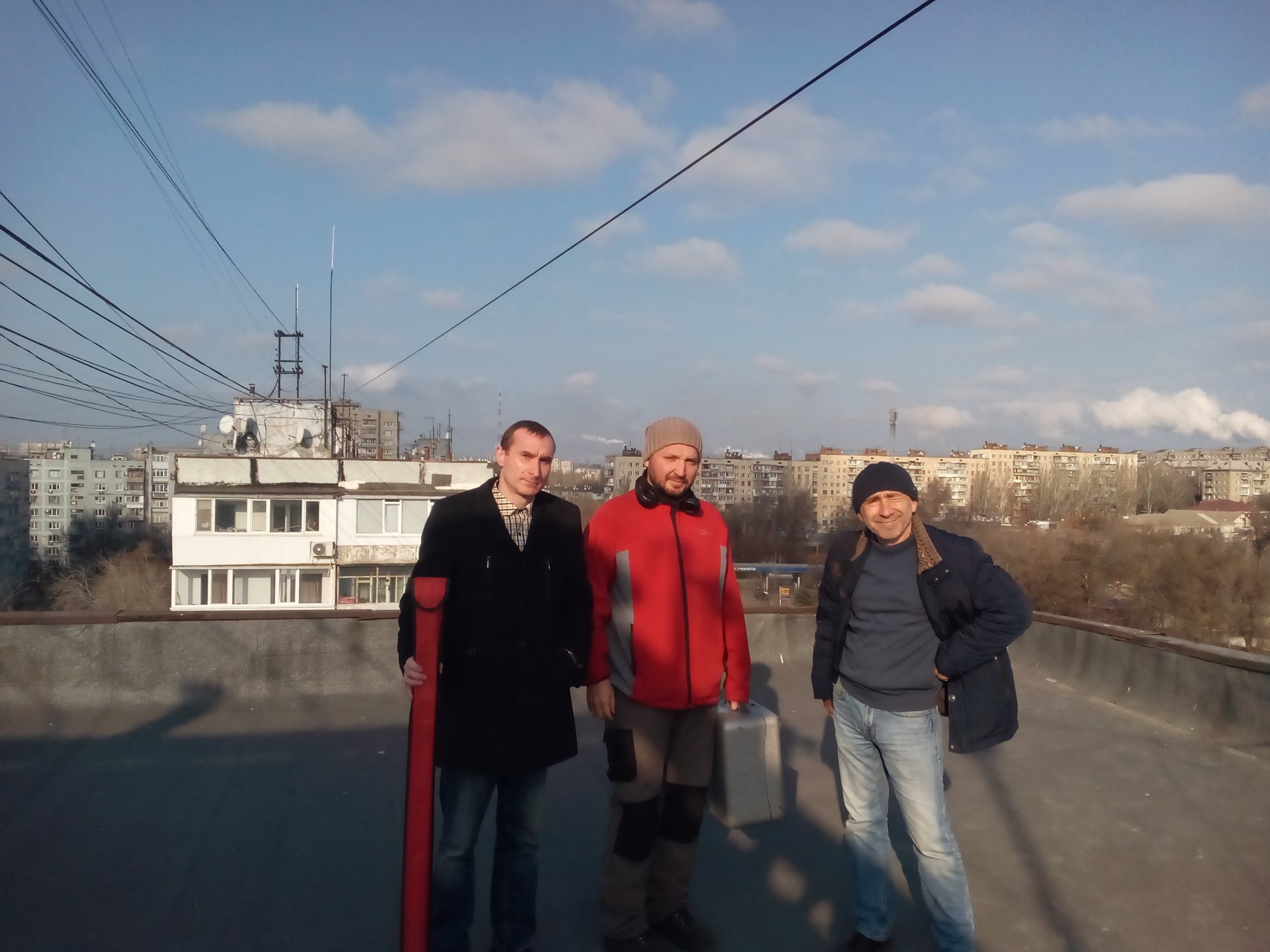
On 26th of November under the Protection of Historical and Cultural Heritage Program in Zaporizhzhia during 2018-2022 there was made optical-instrumental investigation of the territory of historical landmarks of local significance ‘Location of Oleksandrivsk fortress’.
Common research group of Tourist Department of Zaporizhzhia City Council and National reserve ‘Khortytsia’ (A. Volkov, P. Kravchuk, O. Tuboltsev) recorded the borders of landmark in conditions of actual city-planning situation.
Materials received allow producing a detailed orthophotomaps of landmark territory and identifying promising locations for further archeological investigations. Also as a result of job made there will be synthesized information of historical cartography with attaching separate objects to the existing street network, which gives a possibility to define and demonstrate the volume of the first city settlement structure of Zaporizhzhia.